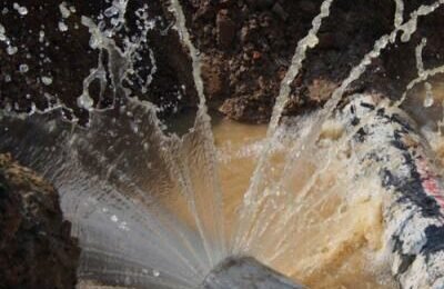
Just because water infrastructure is out of sight doesn’t mean it’s out of mind. The authorities responsible for building municipal pipelines also have a responsibility to maintain them, a task that is made more challenging by their placement underground. Without knowing exactly where pipes are located, it becomes nearly impossible to service them in the most efficient manner. Fortunately, geographic information systems (GIS) now provide a solution. The benefits of GIS for water utilities are numerous, and municipalities across the country are putting the technology to work for them. With these systems in place, a utility can gain valuable insights and get a complete picture of its assets without moving a single shovelful of dirt. Here are some of the key features and advantages of using GIS mapping for water utilities.
The Components of GIS
On its surface, GIS pipeline mapping works in much the same way as your car’s GPS, but with an added component. Using a combination of hardware and software, it combines maps with data to provide a full account of the infrastructure and how it is used. With it, crews in the field can pull up a detailed map of every pipe, valve, pumping station and any other asset they may need to find. The software platform also can collate essential information concerning maintenance history, usage patterns and overall efficiency. This pipeline GIS data can serve a variety of purposes.
The Benefits of GIS for Water Management
Establishing an intelligent water system through the implementation of GIS technology can make a tremendous difference in the way communities run their utilities. With so much information at their fingertips, administrators can make more effective and better informed decisions than they could in the past. It also enables them to predict when they will need to repair or replace sections of pipe based on their age and projected usage patterns. All of this adds up to management with less guesswork and greater accuracy.
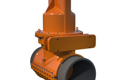
Choose Hydra-Stop
As a leading manufacturer of equipment designed for effective water management, Hydra-Stop offers a number of products that can be integrated into your GIS operations. For example, the Hydra-View enables non-invasive pipe inspection with full HD video and audio. This allows real-time video footage to be incorporated into the data utilities collect about their pipes. To learn more about how our products can bolster your efforts in this regard, reach out to one of our representatives today.